
Road-Tripping the American Southwest: Choosing Your Route Through Canyon Country

Key Takeaways
Why Route Selection Matters More Than You Think
The American Southwest is vast enough that two travelers can spend the same number of days exploring it and come home with completely different trips - one dominated by slot canyons and Navajo Nation landscapes, another by volcanic plateaus and alpine forests. That's not an accident; it's a product of route choice.
Before you pick a highway, it helps to understand what you're actually choosing between. Canyon country spans parts of Utah, Arizona, Nevada, Colorado, and New Mexico, and the roads connecting these states cut through radically different terrain. Some corridors string together marquee national parks in quick succession. Others prioritize solitude, winding through monument valleys and remote state parks that most road-trippers blow past at 75 mph. Getting clear on your own priorities - dramatic geology, Indigenous cultural history, long hiking days, or easy scenic drives from the car - will tell you more about the right route than any map will.
See our guide to building a balanced travel itinerary before finalizing any route, especially if you're trying to squeeze multiple parks into a single week.
The Main Corridors and What They Deliver
Here's a practical breakdown of the most-traveled Southwest routes and what each one actually prioritizes:
- The Utah Mighty Five Loop - Connecting Zion, Bryce Canyon, Capitol Reef, Canyonlands, and Arches in a rough loop through central and southern Utah, this is the classic overachiever route. It's spectacular but demands at least 10-14 days to avoid a highlight-reel sprint that leaves you exhausted. Timed-entry reservations at Arches and Zion's shuttle system are logistical realities, not optional considerations.
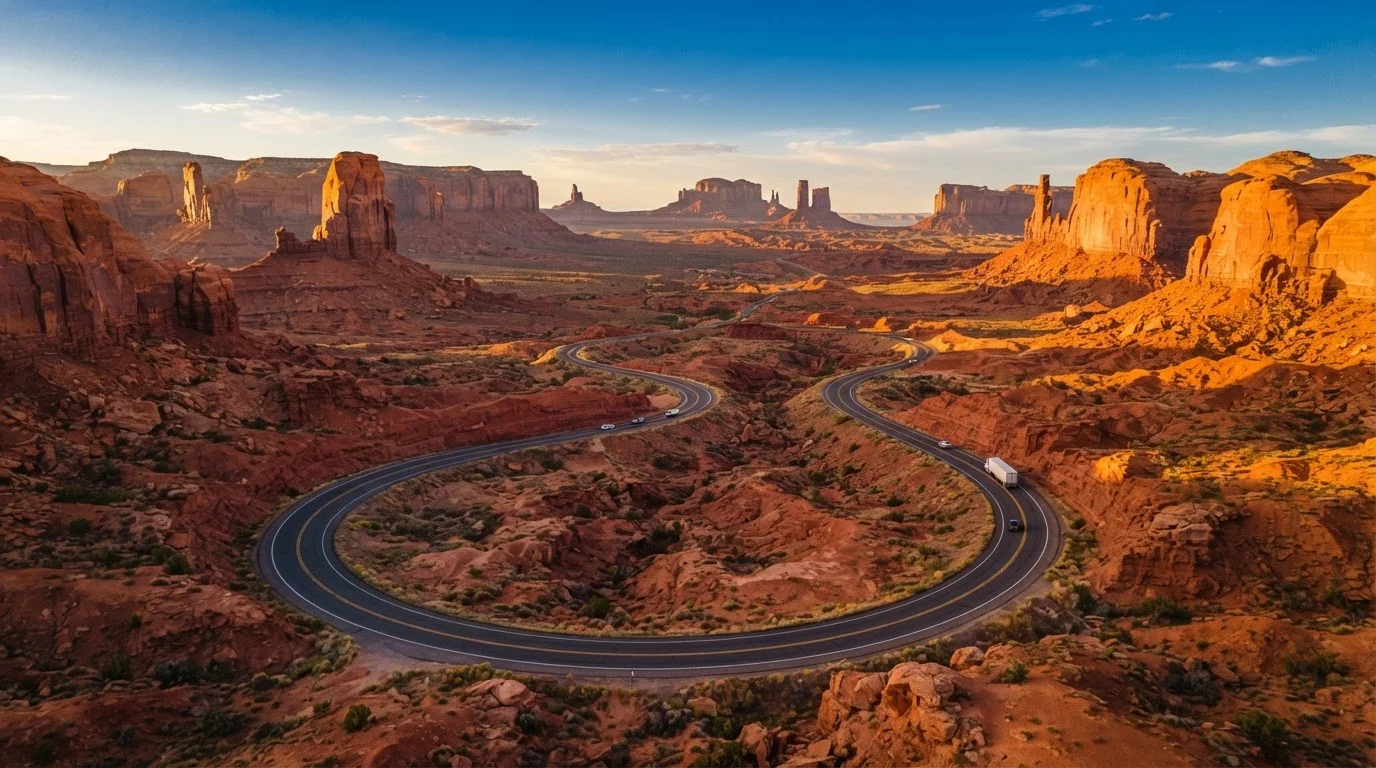
- The Grand Circle - A broader loop that pulls in northern Arizona (Grand Canyon, Monument Valley, Antelope Canyon) alongside the Utah parks. Most drivers tackle it in two weeks or more. It's the most geographically diverse option and passes through significant Navajo and Hopi lands - approach those areas with genuine cultural respect.
- The Arizona Strip and Vermilion Cliffs - Running between St. George, Utah, and the North Rim of the Grand Canyon via US-89A and House Rock Valley Road, this less-traveled corridor rewards drivers willing to seek it out. The Wave lottery and Coyote Buttes permits are highly competitive; build your trip around whether you've already secured them, not the other way around.
- The Four Corners Route - Linking southwestern Colorado (Mesa Verde, Durango) with southeastern Utah and northwestern New Mexico, this corridor leans into archaeology and Indigenous history more than any other. It's an excellent choice for travelers who want depth over volume.
For a fuller look at parks that don't always make these main corridors, explore our rundown of underrated national parks worth building a detour around.
Gas Up Before Remote Stretches
Several Southwest corridors pass through 50-80 mile gaps between fuel stops, particularly in the Arizona Strip, Navajo Nation, and southeastern Utah. Always fill your tank when you drop below half, not when the warning light appears. Carrying a small approved fuel container is smart backup on the most isolated segments.
How to Match a Route to Your Trip
Once you've read through the corridors above, use this process to narrow your choice:
Count your actual driving days - not total trip days
Subtract arrival and departure days, any rest days you realistically need, and the days you plan to spend hiking rather than driving. That remaining number is what you have to work with. Most Southwest corridors need a minimum of 7 true driving days to feel unhurried.
Identify your two or three non-negotiable stops
Write them down before researching any route. These anchors determine which corridor makes sense as a spine. If Antelope Canyon and Monument Valley are both on your list, a Grand Circle approach fits. If you're chasing Arches and Capitol Reef, the Mighty Five loop is your framework.
Choose loop versus point-to-point based on logistics
Loop routes offer more variety and eliminate backtracking, but they require you to research fuel stops and cell service gaps along less-traveled connecting roads. Point-to-point routes (e.g., Las Vegas to Denver) are simpler to manage but often involve retracing some ground or one-way vehicle fees if renting.
Cross-check your route against seasonal conditions
Summer (June-August) brings extreme heat in canyon bottoms - dangerous for midday hiking - plus peak crowds and higher lodging prices. Winter closes some high-elevation roads entirely. Spring and fall hit the sweet spot for most routes, though spring can bring muddy unpaved roads after snowmelt. Check the National Park Service website and state road condition alerts for each road you plan to use.
Book lodging in anchor towns before anything else
Moab, Kanab, Sedona, and Flagstaff are the main hub towns for Southwest road trips. Accommodation in these towns fills up fast during peak season, and running out of options mid-route often forces unplanned detours. Secure your anchor-town nights first, then fill in the rest of your lodging around them.
Whatever pace you land on, be honest about it early. A mismatch between ambition and reality is the most common Southwest road trip regret. Our guide to slow versus fast itineraries walks through exactly what each approach delivers and costs. And if you're still weighing whether to drive at all, our road trip versus flying breakdown lays out the honest tradeoffs. For national park logistics - permits, gear, peak season timing - our complete US national park planning guide covers it all in one place.
Verify Entry Rules Before You Go
Permit systems, road conditions, and visitor regulations across Southwest parks change regularly. Always check official National Park Service pages and state tourism sites for current requirements before your trip departs. Do not rely solely on third-party apps or older trip reports for entry or access information.